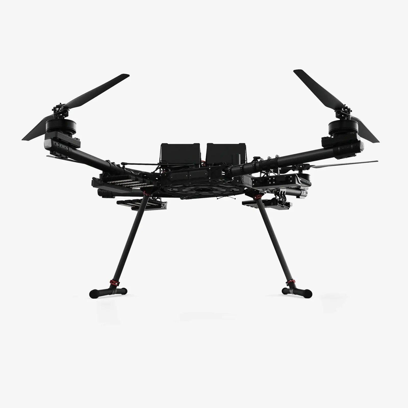
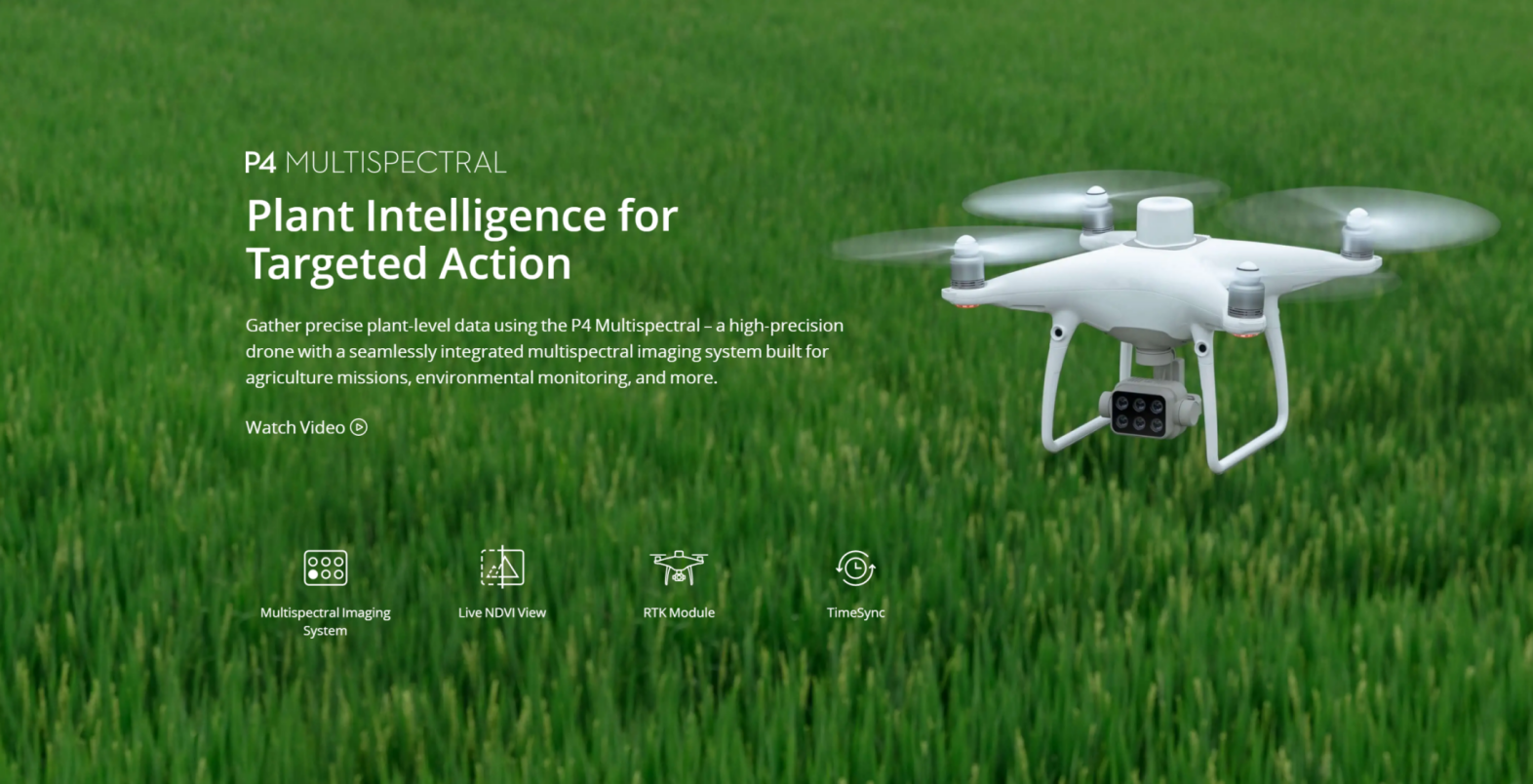
Overview
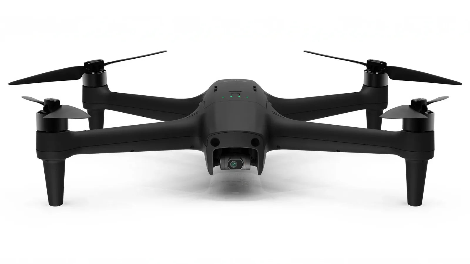
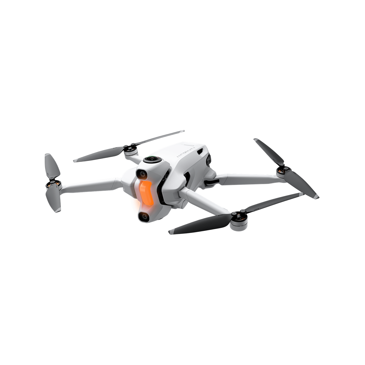
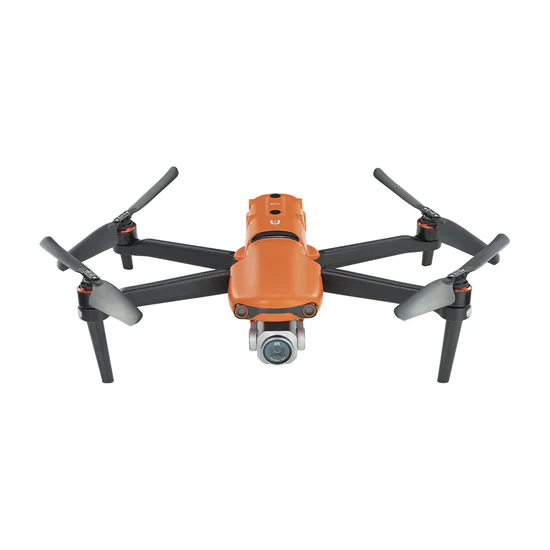
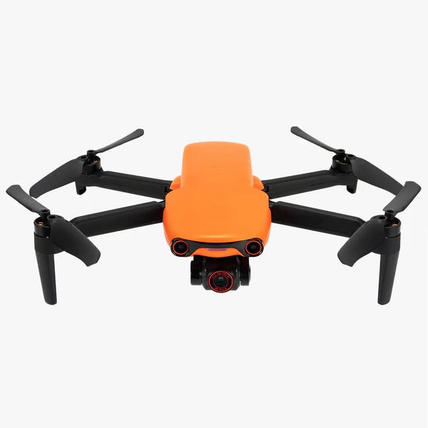
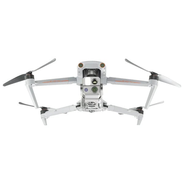
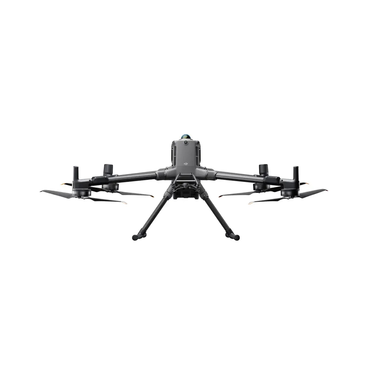
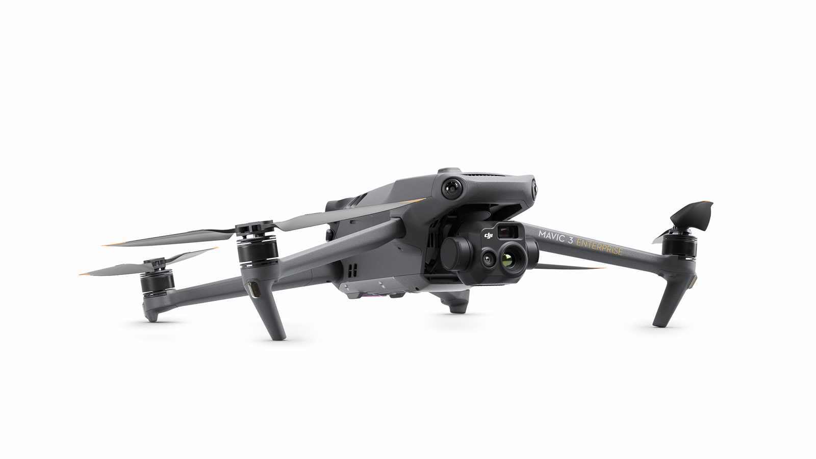
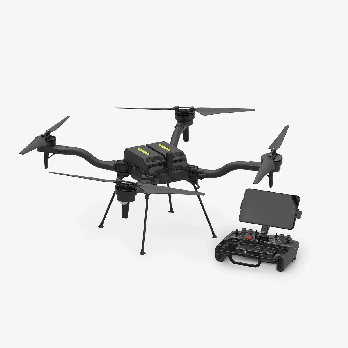
When you buy the Phantom 4 Multispectral from Camzilla - the drone experts - you can rest assured that you're ordering from the industry experts with in-depth product knowledge and that you'll receive an unparallelled level of customer service. We're not just after a quick sale - we're looking to establish long-term relationships with our clients. Our standard offers include free set-up and activation of your drone (if desired) and free technical support for the life of your product.
.png)
.png)
.png)
.png)
.png)
.png)
.png)
.png)
.png)
.png)
.png)
.png)
.png)
.png)

.png)
.png)


Specs
Resources

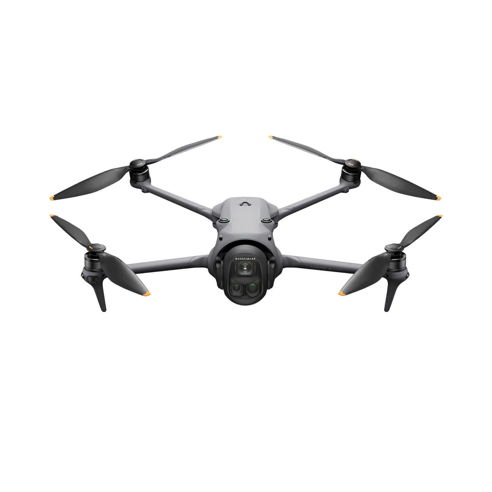
 Mavic 4 Pro
 Luna Ultra
 RS 5
RS 5 RS 2
RS 2 RSC 2
RSC 2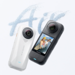 X4 Air
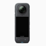 X4
X4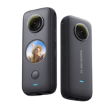 ONE X2
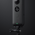 ONE X
ONE X GO 2
GO 2 Power 1000 Mini
 Power 2000
 Power 1000